
Start › Land & People: Uganda Country Information › Uganda’s landscapes: snow and ice on the Equator
Uganda’s landscapes: snow and ice on the Equator
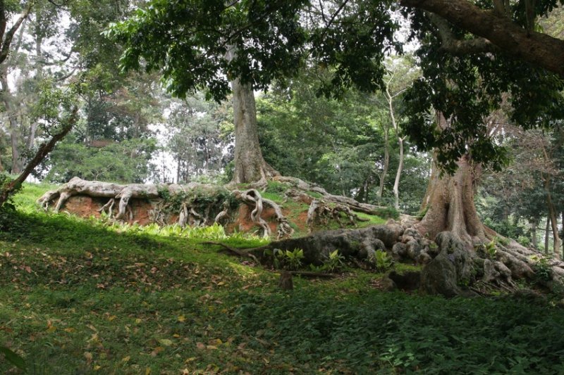 The scenic diversity of Uganda is unique and ideally suited for a safari. For only in a few countries of the world are travellers offered impressions ranging from glaciers to tropical landscape and from deserts to tropical rainforest. Uganda lies on the great Central African Plateau, which stretches from Sudan to South Africa. (29-35° east longitude, 1-4° south latitude). In the south the landlocked country is bisected by the Equator. In doing so, Uganda borders the states of Kenya, Tanzania (east, south), Sudan (north), Democratic Republic of the Congo (west) and Rwanda (south-west). The landscapes of Uganda were largely created by intensive volcanic activity. In the west the Central African Rift Valley cuts through the country. Deeply incised valleys and the steeply rising Virunga volcanoes shape the scenery here. At the bottom of the valleys, Lake Albert, Lake George and Lake Edward offer important excursion destinations for a safari. A must on a safari in Uganda is a boat trip on the Kazinga Channel between Lake George and Lake Edward, which brings travellers closer to the unique wildlife on the shores. For example, there is a particularly large population of hippos here – estimates for the channel reach around 2,000 animals.
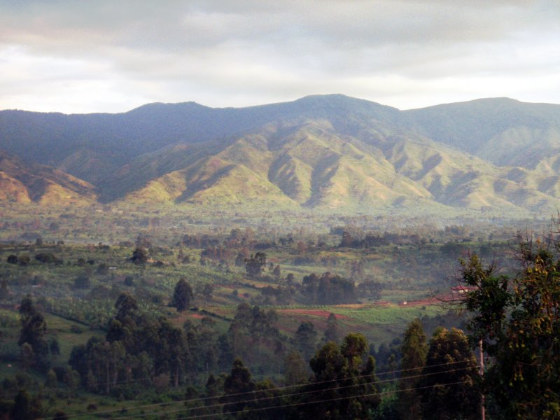 The highest mountains of Uganda are the six peaks of the Rwenzori Mountains (5,109 m) in the west of the country – however, the glaciers of the “snow on the Equator” are clearly receding. In the east Mt. Elgon rises to 4,321 m. Both mountains are known for their unique wildlife in the cloud forests of their steep slopes. The famous mountain gorillas, however, live in the south-west: in Bwindi Impenetrable National Park and in Mgahinga Gorilla National Park.
15 % of Uganda’s total area (241,000 km²) is made up of lakes, of which Lake Victoria is the largest. The lake lies at an altitude of 1,135 metres above sea level and is on average 40 metres deep. Lake Victoria is the second-largest freshwater lake on earth – its area is given as around 59,950 to 69,500 km² depending on the source.
Around 100 years ago Lake Victoria was still regarded as the source of the Nile, at around 7,088 km the longest river in the world (the figures vary depending on the source between about 6,650 and 7,088 km; it competes with the Amazon for the title of “longest river”). Today, however, it is known that the source region of the Nile lies in the mountains of Rwanda and Burundi.
Nevertheless, the outflow of the Nile from Lake Victoria shapes large parts of the country. For on its way north, extensive swamp landscapes as well as further lakes (Kyoga and Lake Kwania) have formed. Towards the north in the direction of Sudan the land becomes increasingly flatter and drier, so that savannahs and thornbush landscapes are widespread here.
In short: Uganda is the travel destination par excellence, offering a diversity of landscapes that is hardly to be found in Africa.